

Decoding the Tide: How We’re Mapping Roatan’s Changing Sargassum Surge


If you’ve stepped onto Roatan’s beaches this year, you’ve likely seen it: thick, golden mats of sargassum washing ashore along coastal zones and marine protected areas.
While sargassum is a natural part of the Atlantic ecosystem, 2026 brought a plot twist no one saw coming.
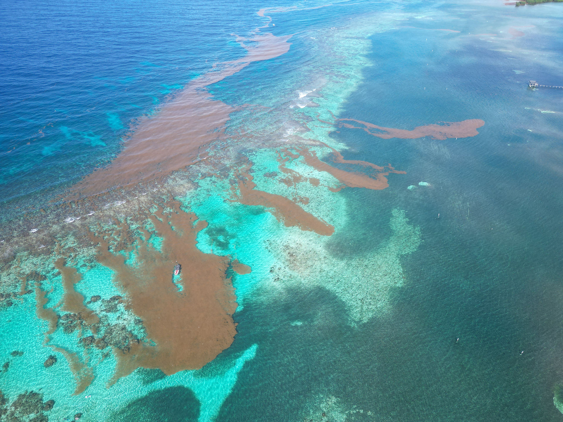


Historically, these floating algae blooms drifted mostly along our southern shores. But from January through April, shifting winds and unexpected weather patterns sent massive waves of sargassum blanketing almost the entire island, sweeping into northern and western bays that rarely saw a strand, with the heaviest surges piling into the south-eastern sector.
Eyes on the Water 24/7
Faced with an unpredictable sea, the Roatan Marine Park team didn't wait for the tide to clear. We launched a continuous tracking initiative to map the influx in real time and decode how cold fronts, tropical waves and heavy rains push these golden tides toward our reefs.
Our rangers set an ambitious goal: map 1,500 hectares of coastal water every single month.
Thanks to relentless hours on the water, our team didn't just meet that target—they shattered it, extending survey routes into newly affected bays to track the shifts as they happened.
Turning Raw Data into Reef Protection
Mapping sargassum isn't just about counting coastal blooms; it’s about defending Roatan's marine life before ecological damage takes hold.
Now, we are working toward creating an early-warning system for local authorities, empowering partners to act quickly and laying the groundwork for a long-term contingency plan. Every hectare mapped brings us one step closer to sustainable disposal solutions that keep our coral reefs healthy and resilient.


Comments